

Present
Yield 02 — Oil Map of L.A.2026
California Life 012024
Birthday Portrait 012023
Devil Canyon2020
Spring 2020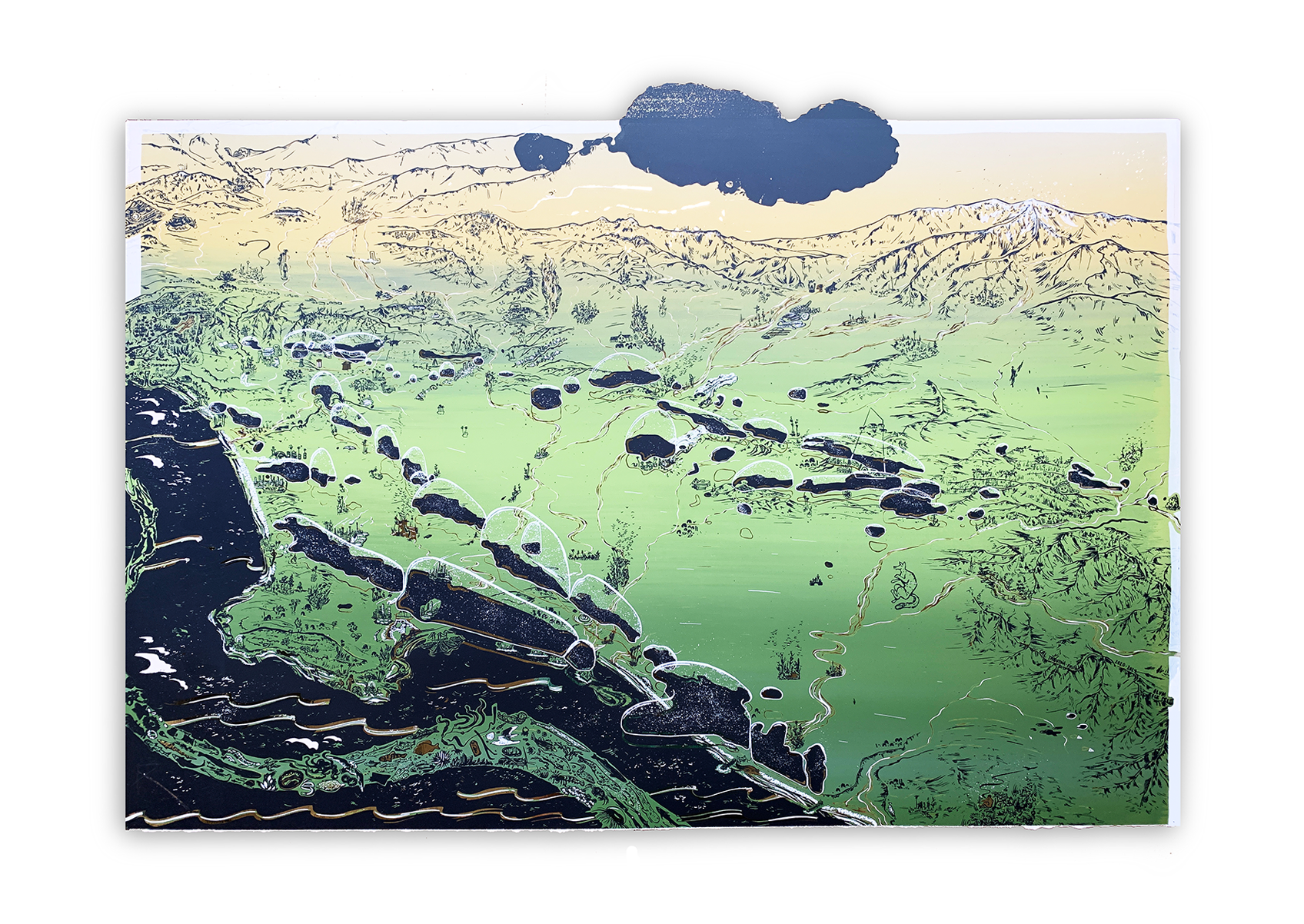
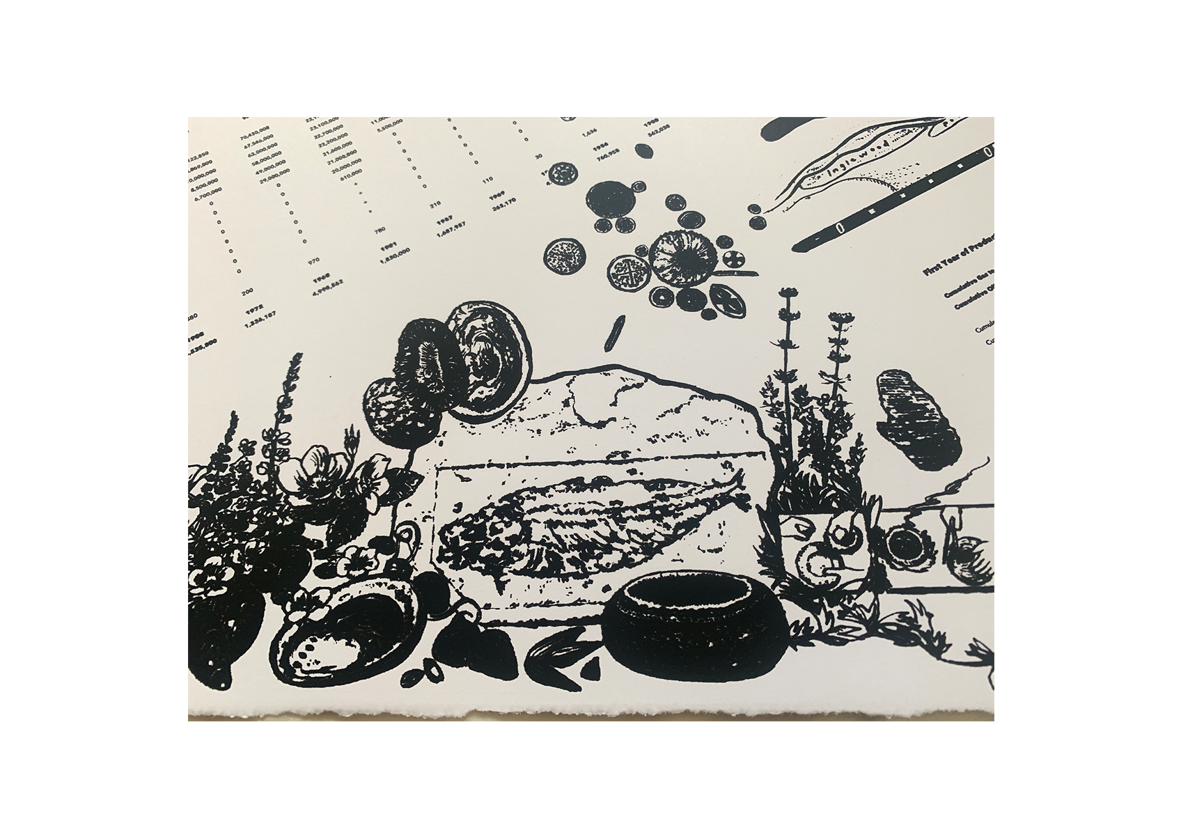
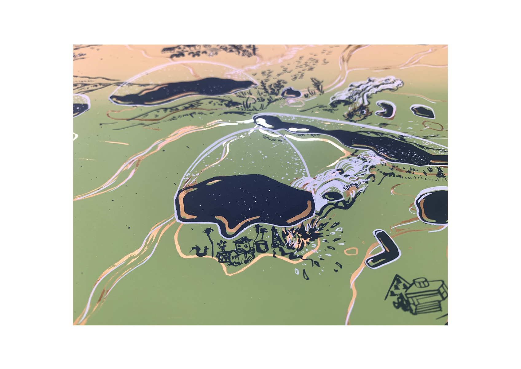
Yield 02 highlights historic oil locations, public parks and native animals of the greater Los Angeles region
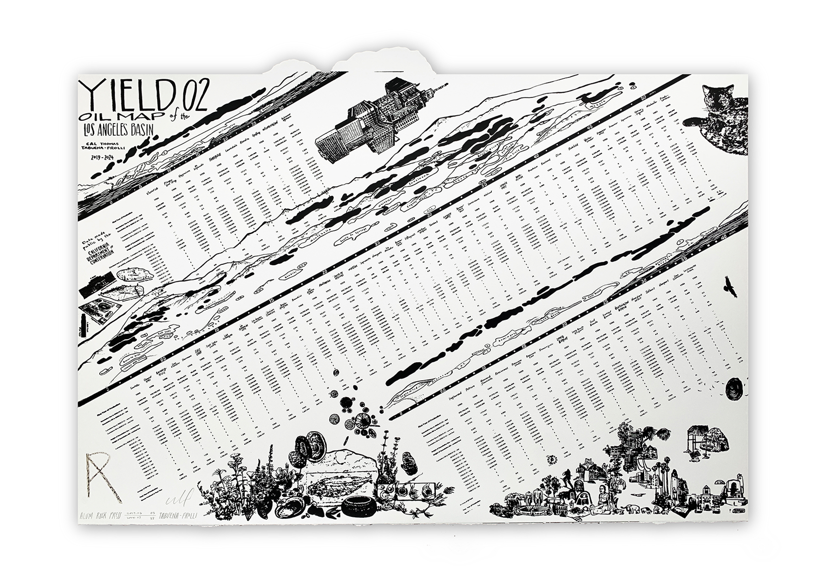
This map and table collates 144 years of state-collected data on the production of California's oil industry.
Each oil field is profiled — with its initial year, year of highest production, and volume of extracted petroleum and gas listed
It is available for public viewing at: the California Room in the San Jose public library's downtown branch,
Los Angeles Contemporary Archive and the map collections of the Central Library in DTLA,
CSU Northridge, UCLA and Stanford University
Sources for this map include hard copies of the California Oil and Gas Supervisor ( 1876 - 2020 )
accessed at: the Science Floor of the Central Library in Los Angeles, the California Room at the Martin Luther King Jr. branch in downtown San Jose,
and the CA Department of Conservation's online document request page and Interactive Oil Field Map
If your public collection would like to host a print of Yield 02 for research or viewing, please get in touch: tabuenafrolli@gmail.com
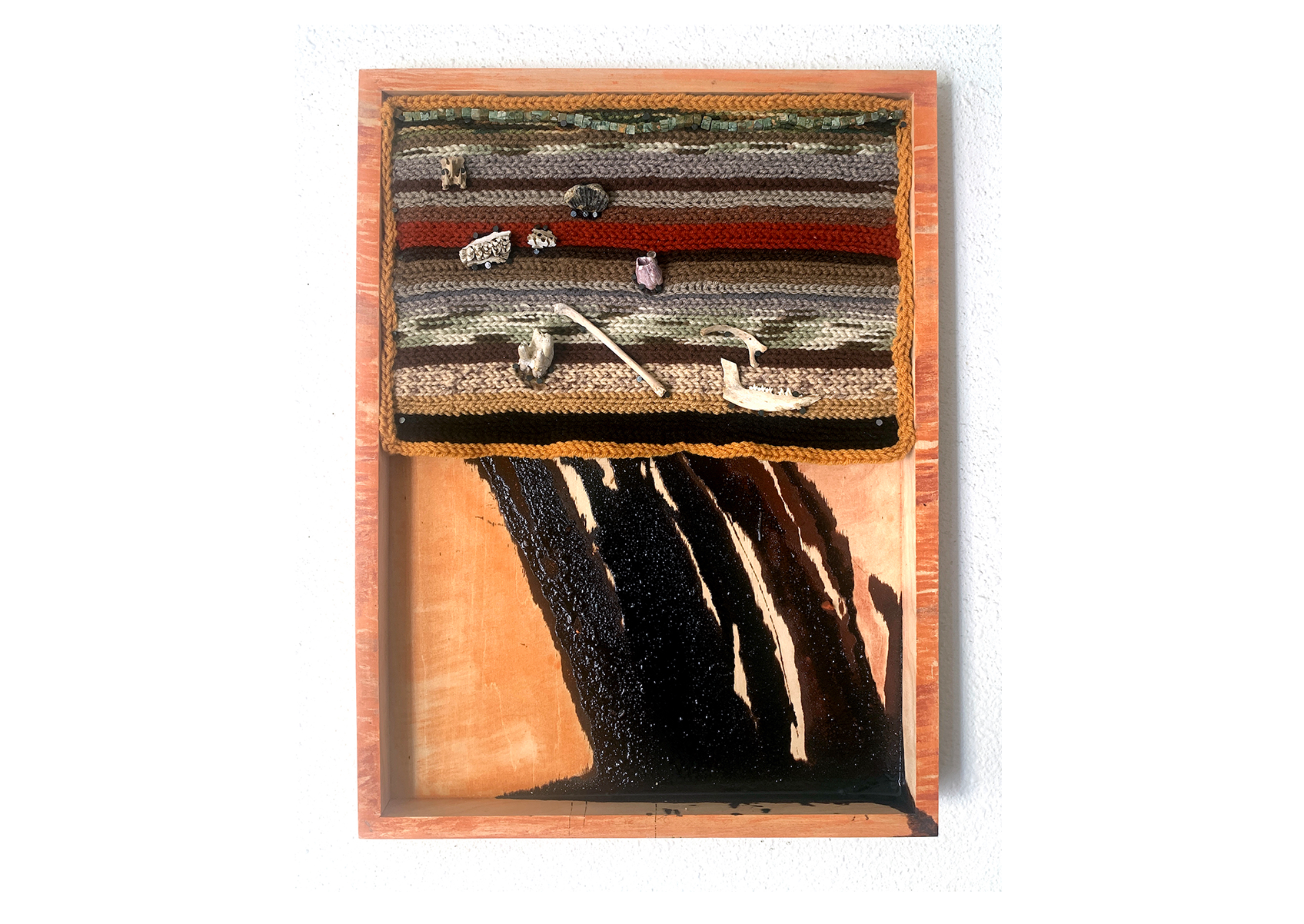
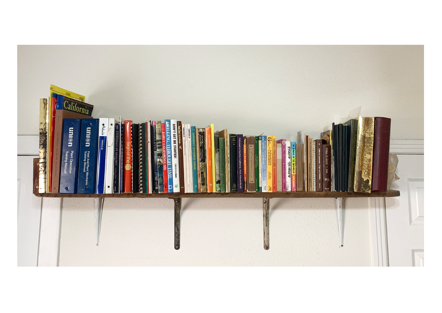
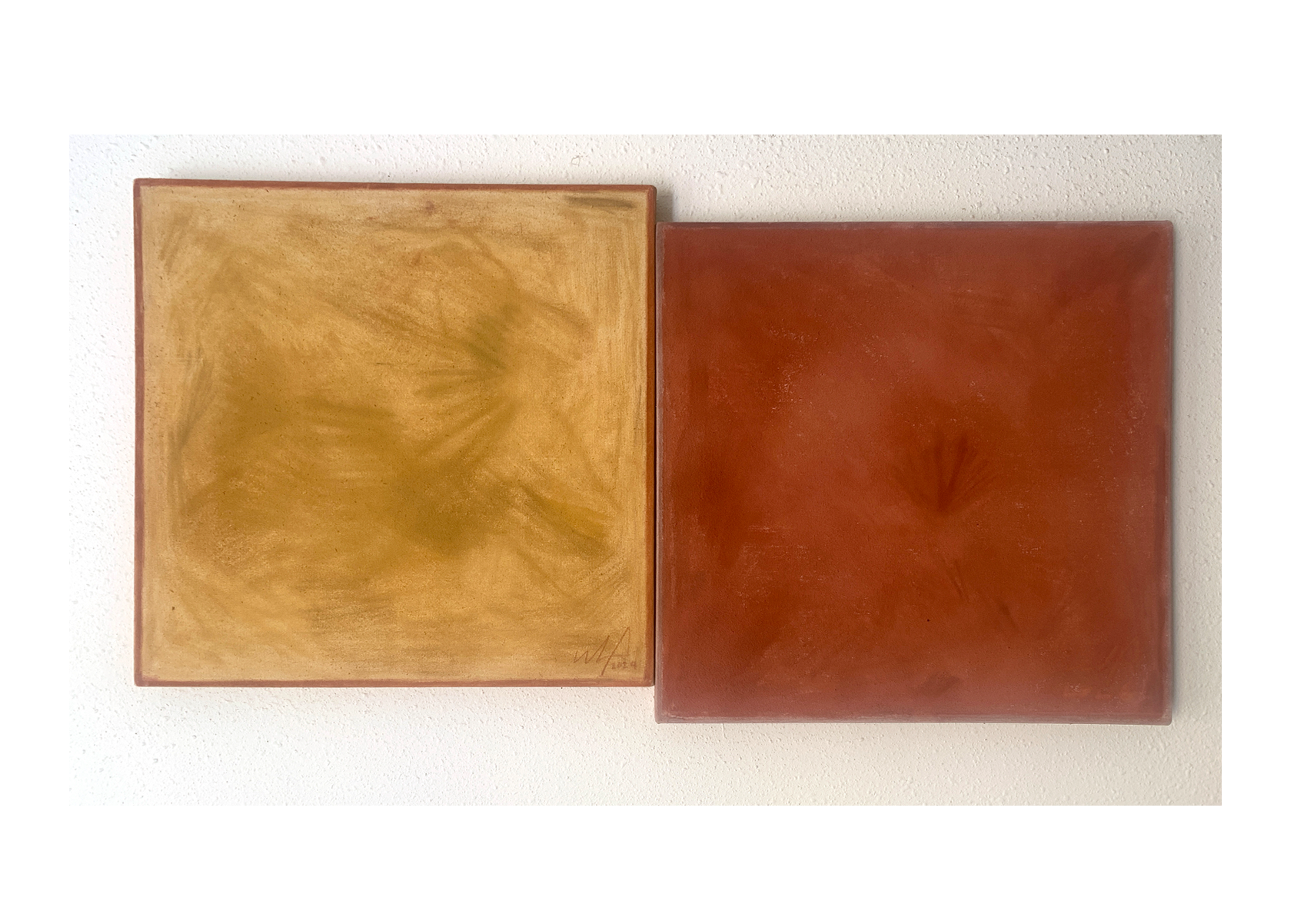
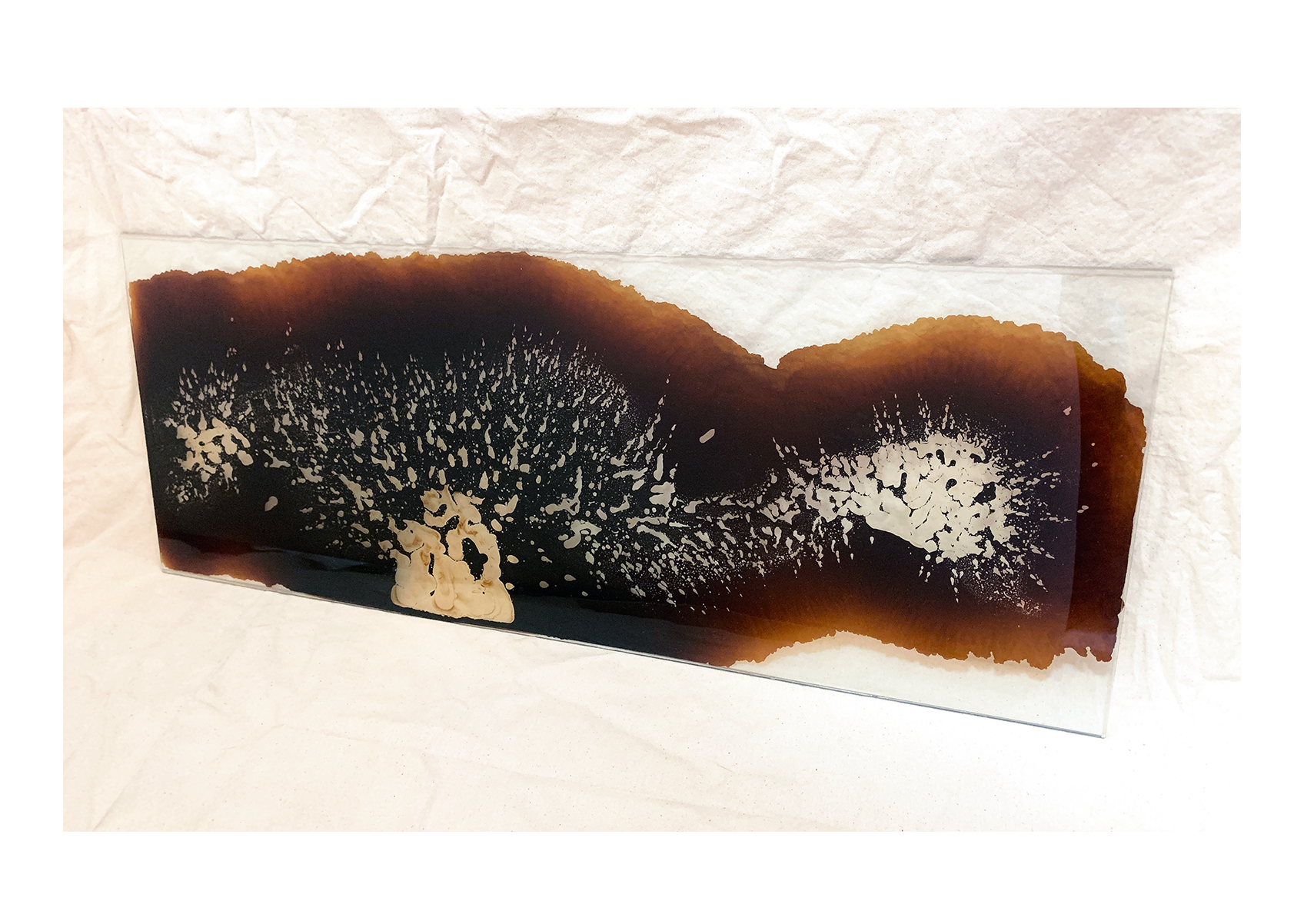
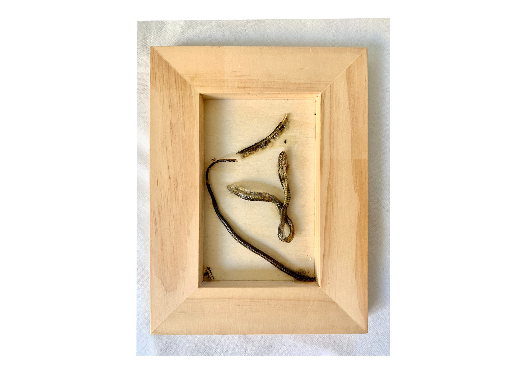
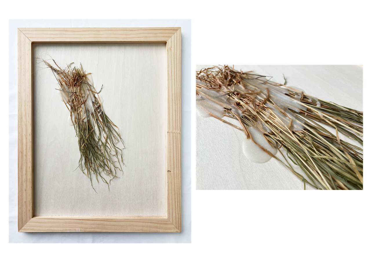

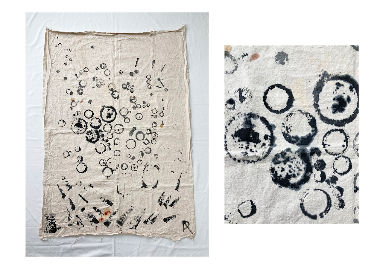
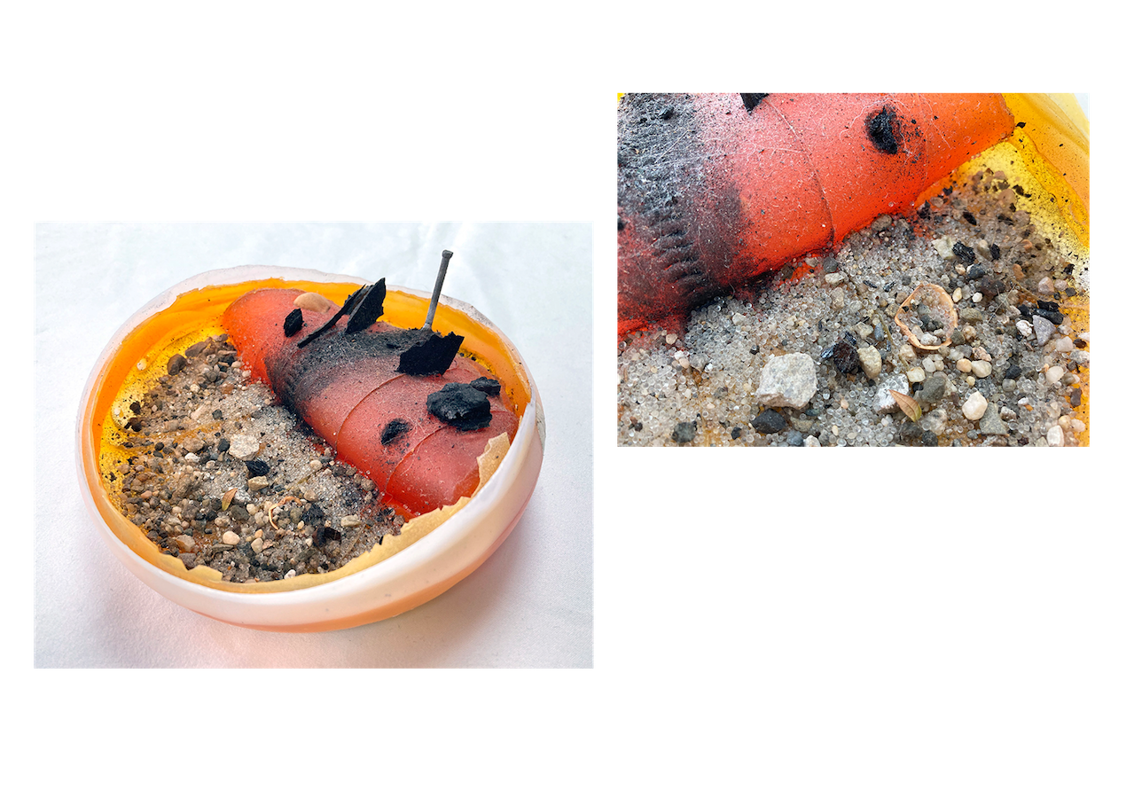
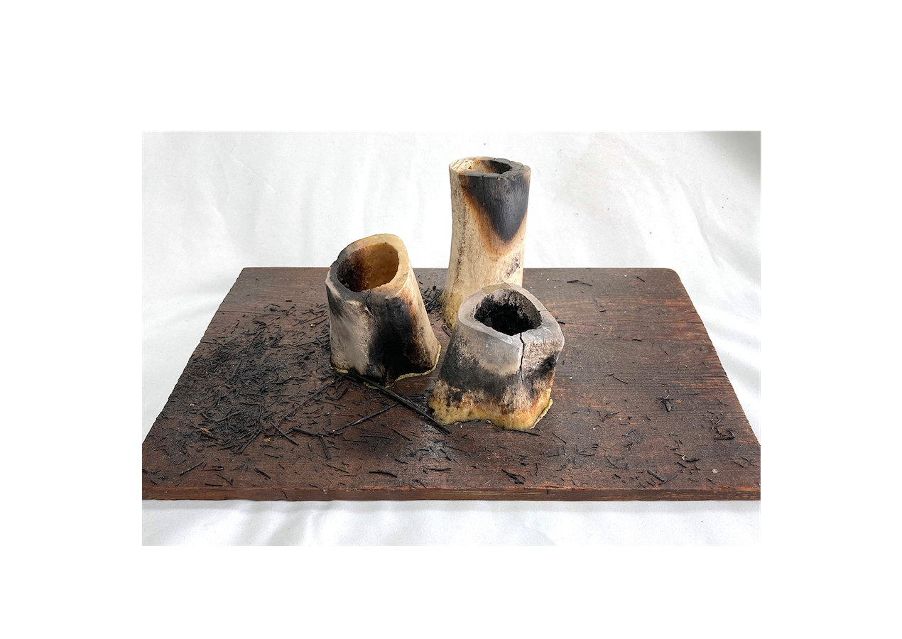
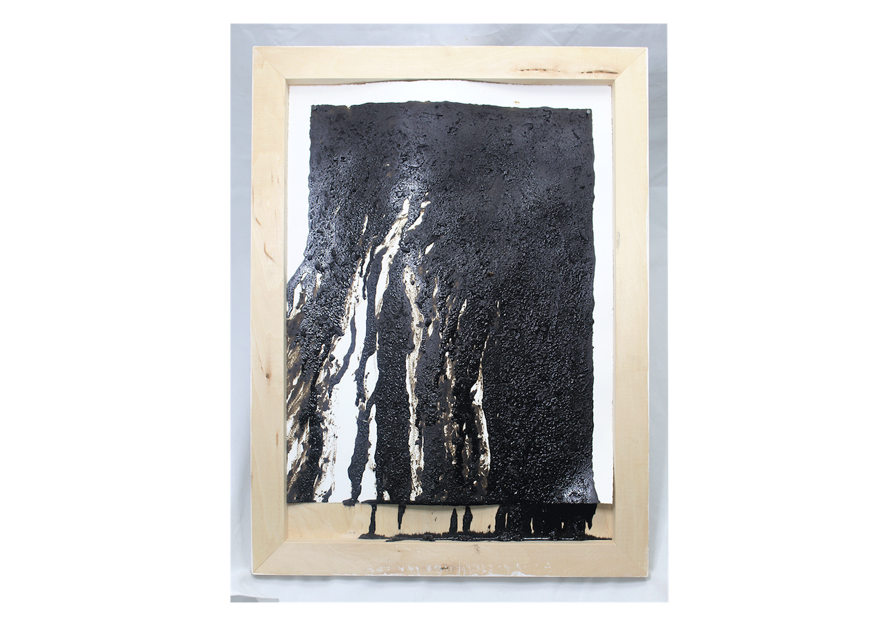
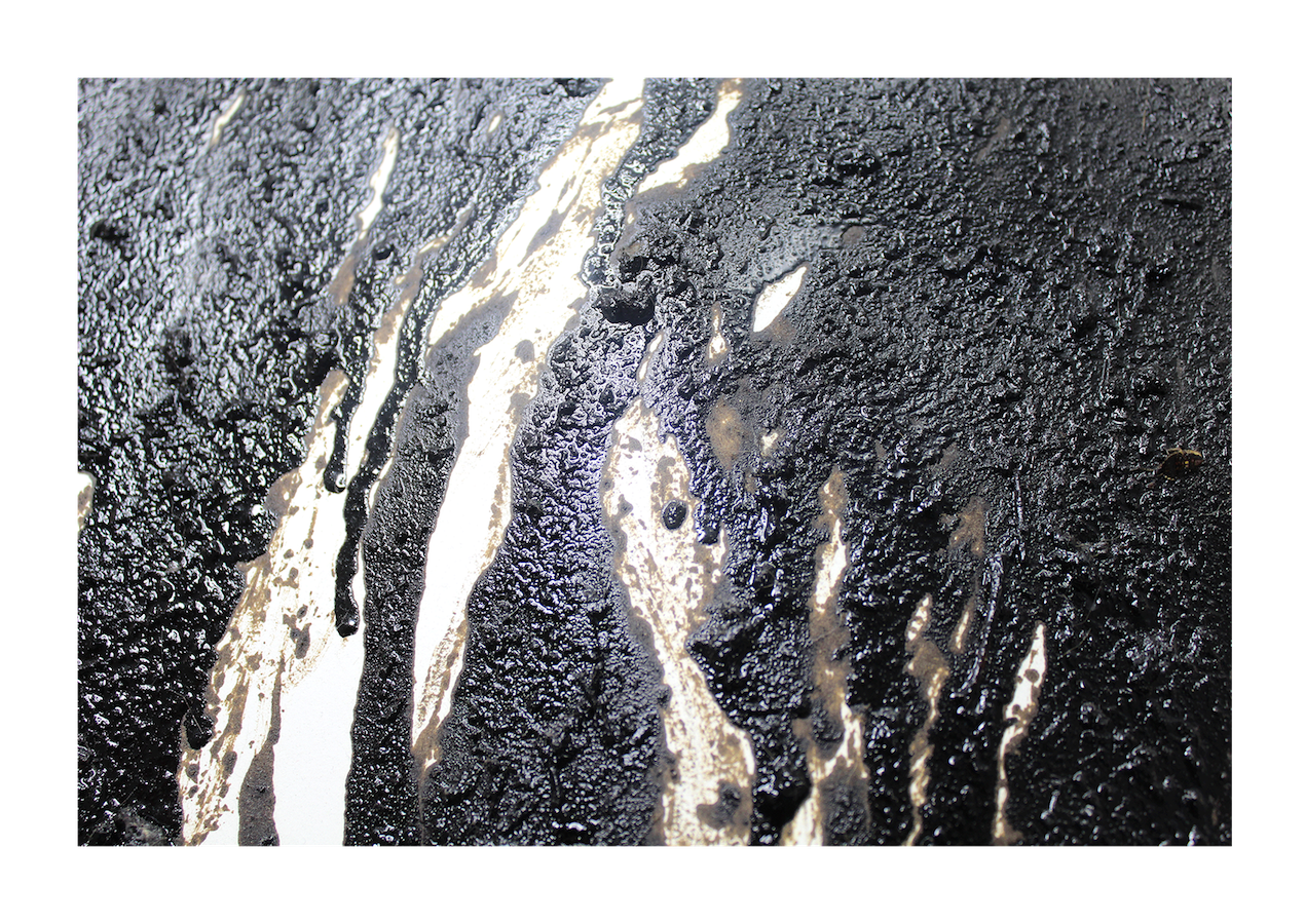

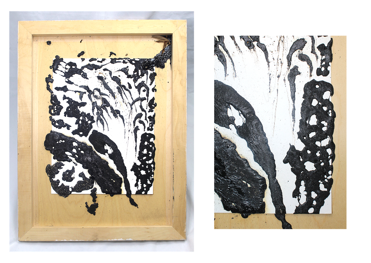
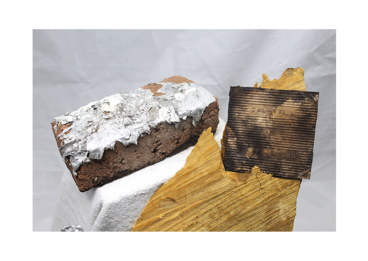
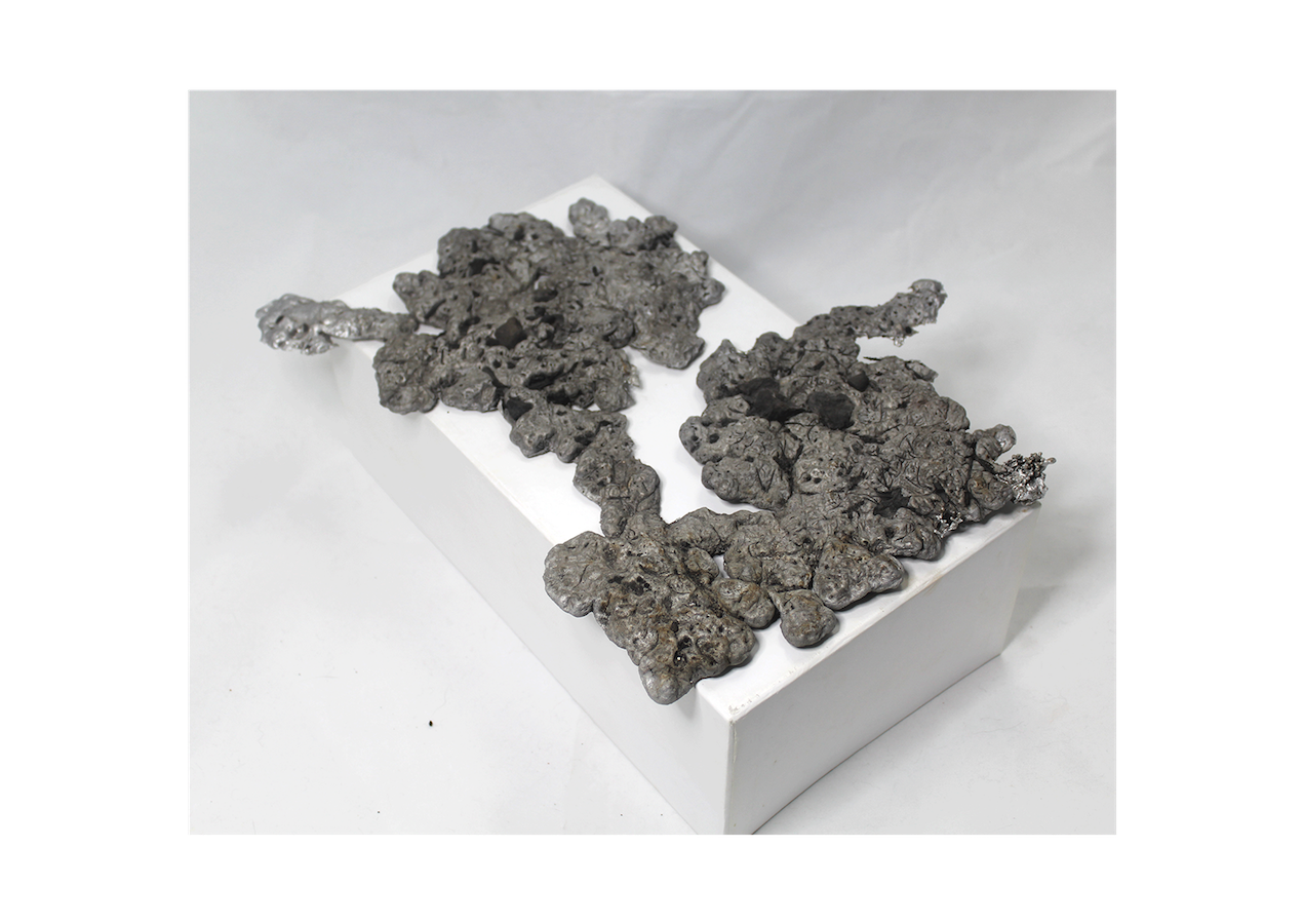
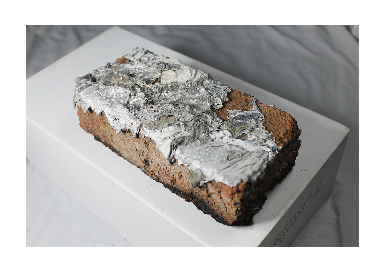
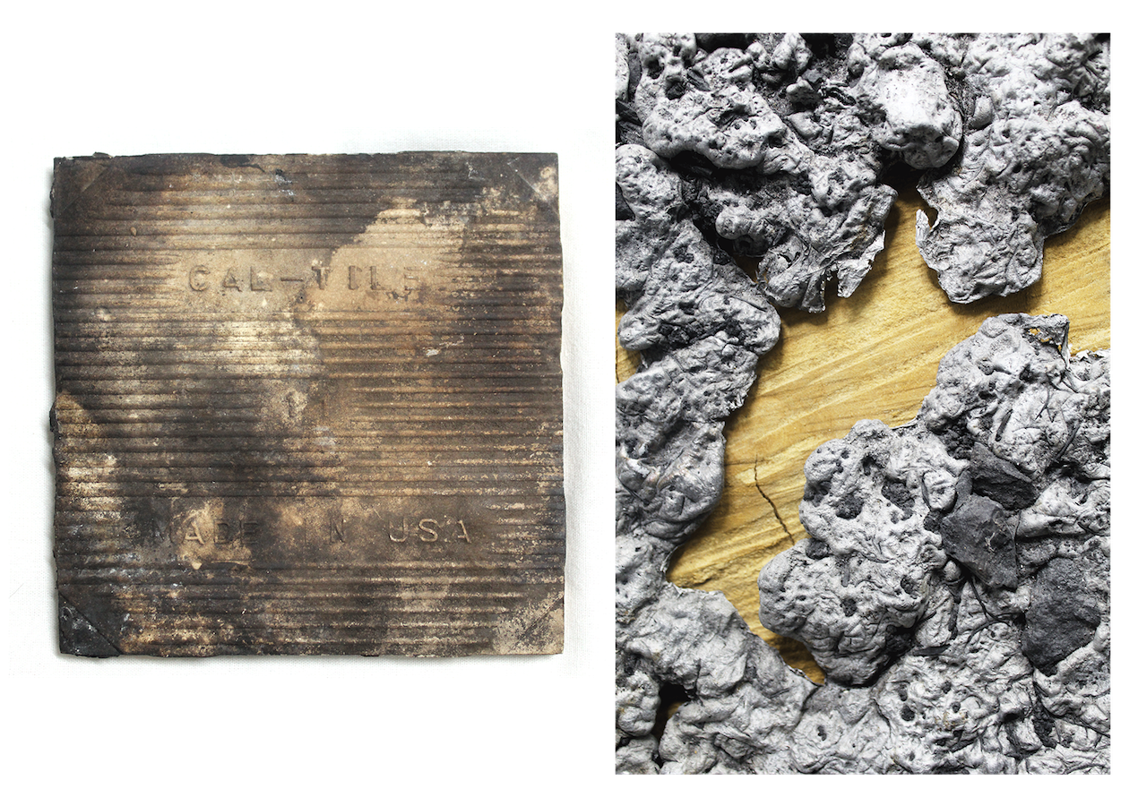
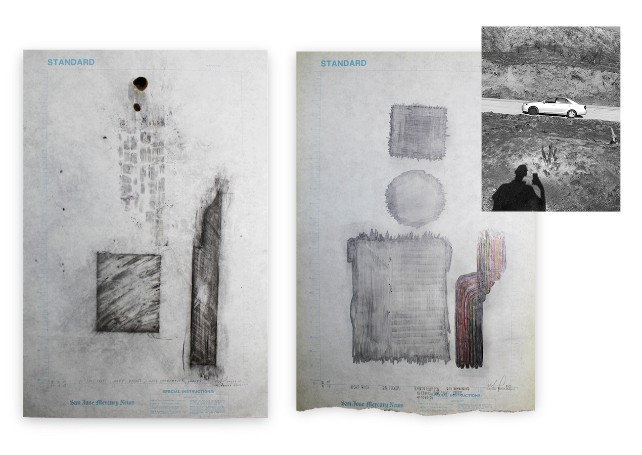
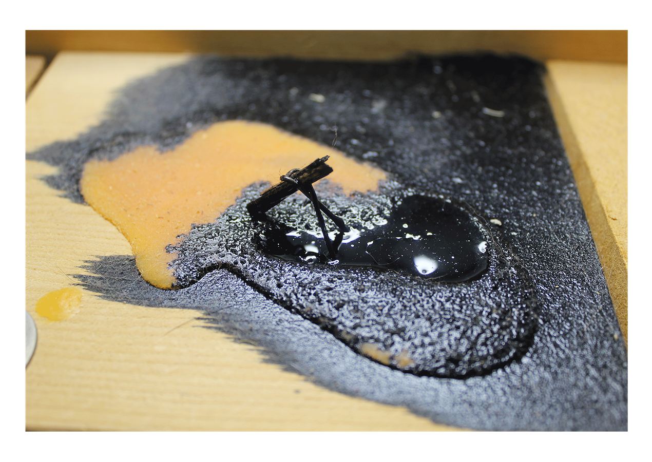
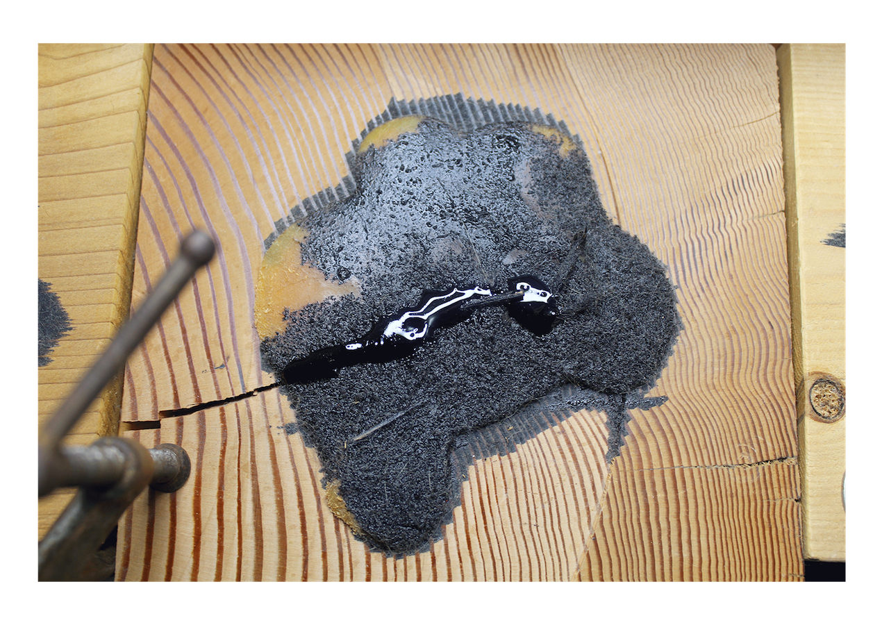
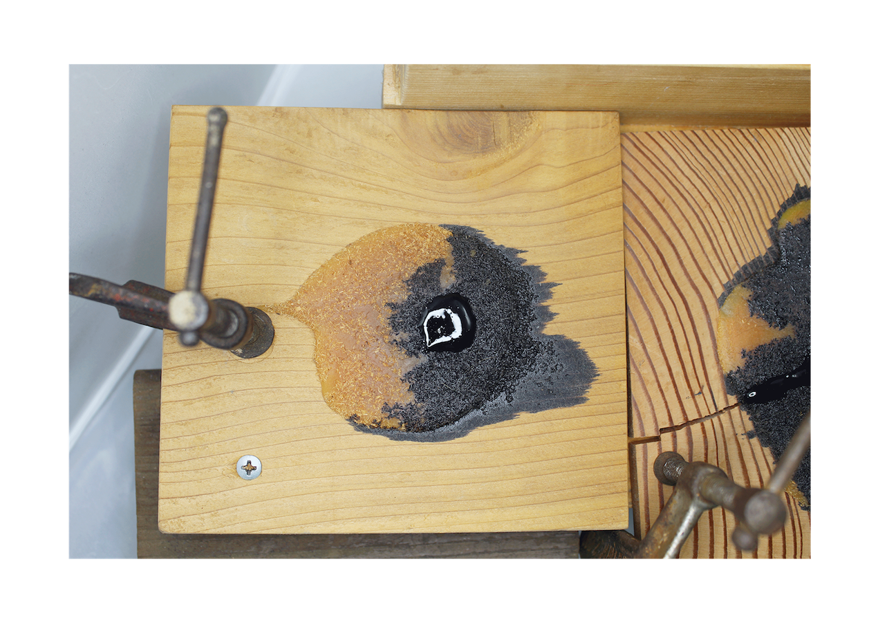
The full name of this piece is in four parts. The names given in parentheses are the shorthand names for each piece.
( Terrane | Export | Consumption | Culture )
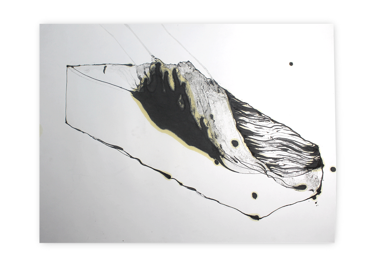
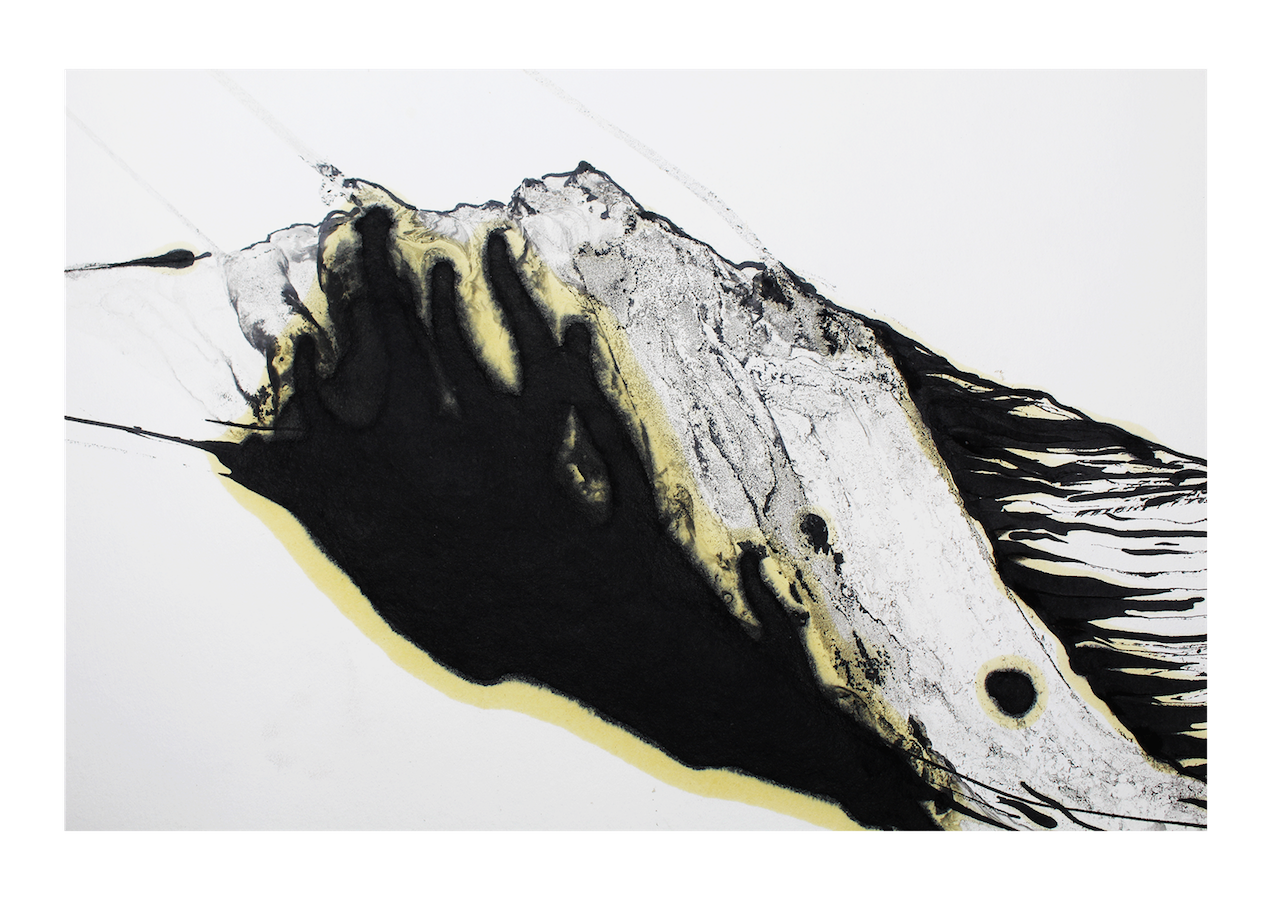
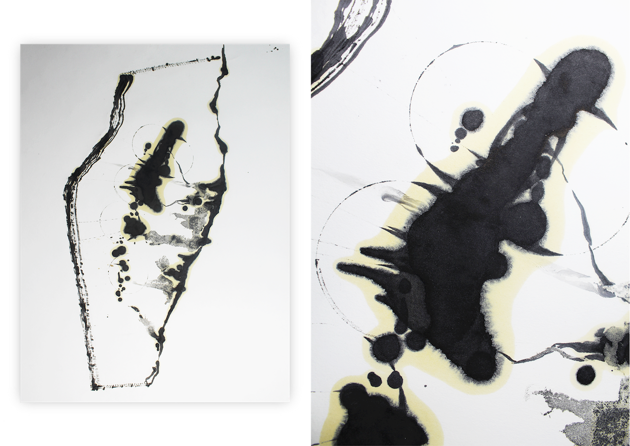
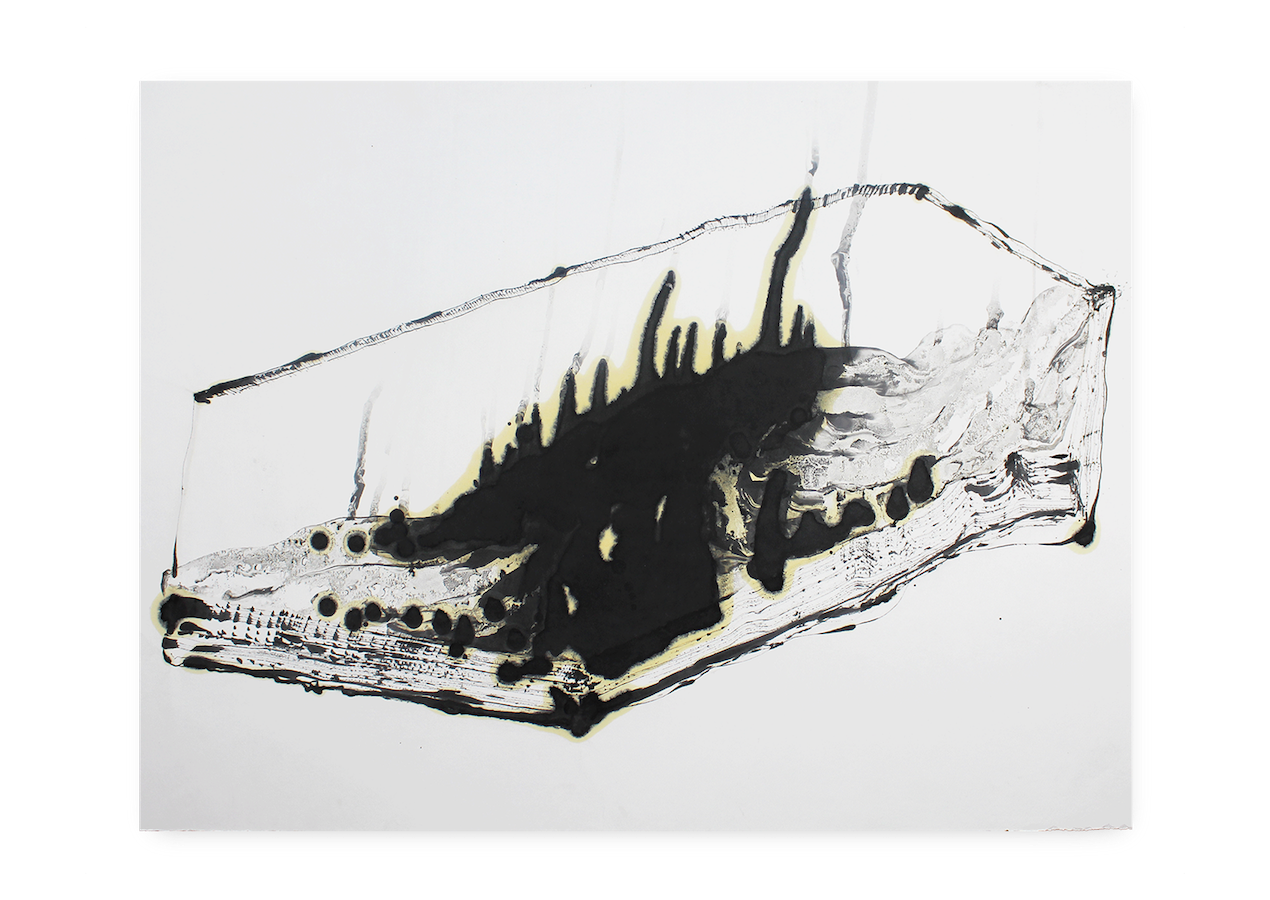
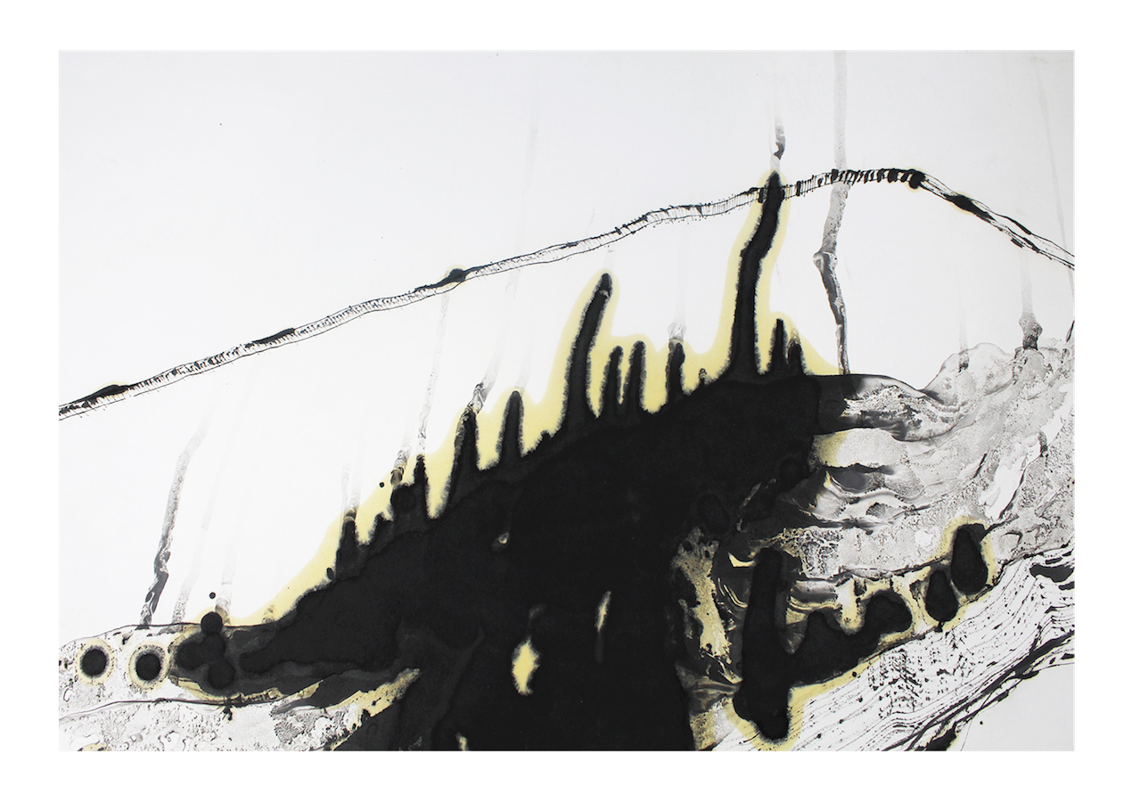
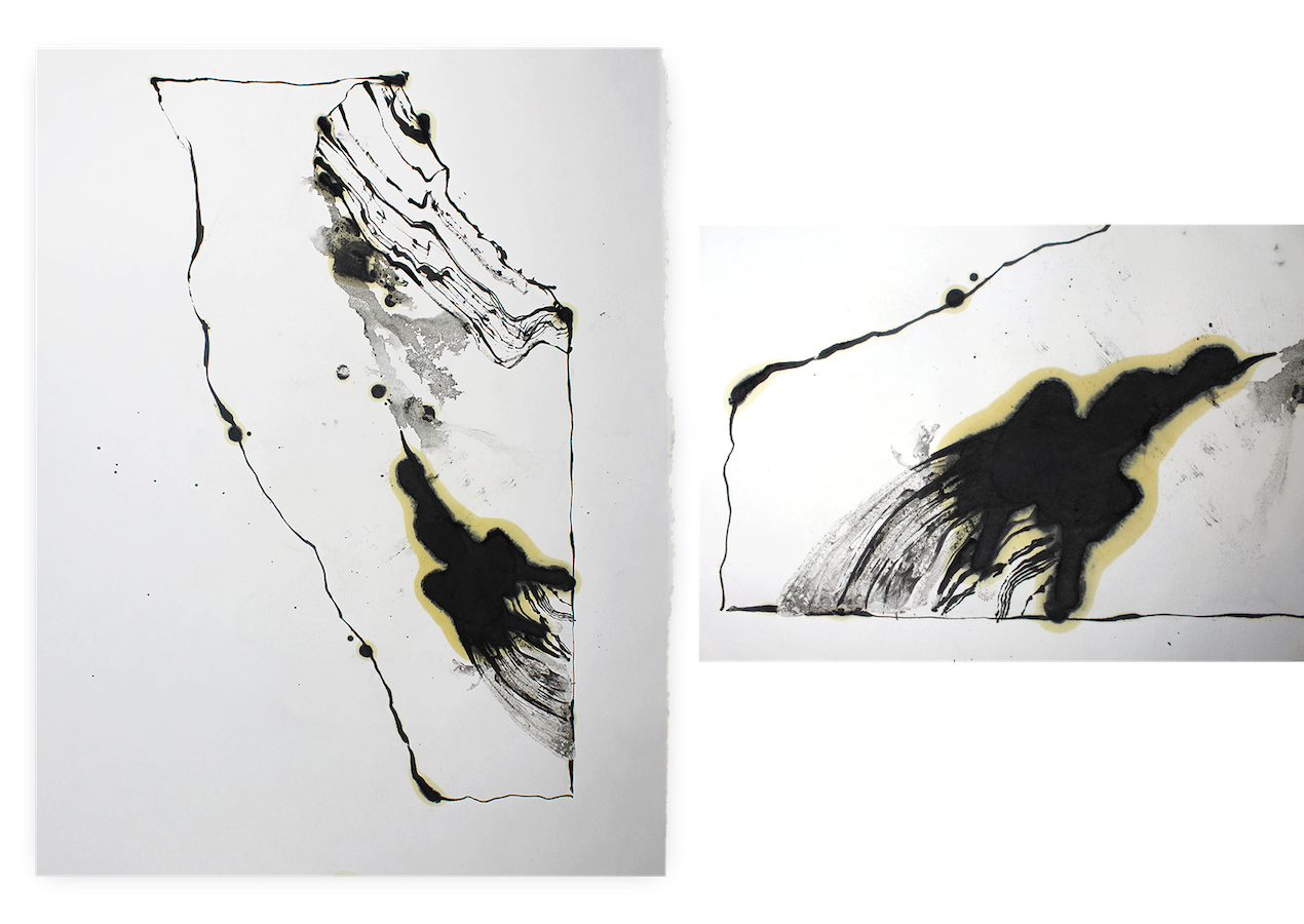
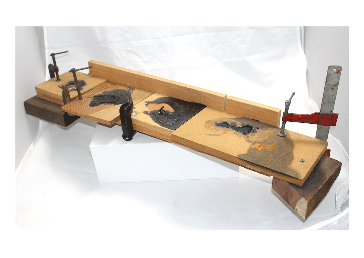
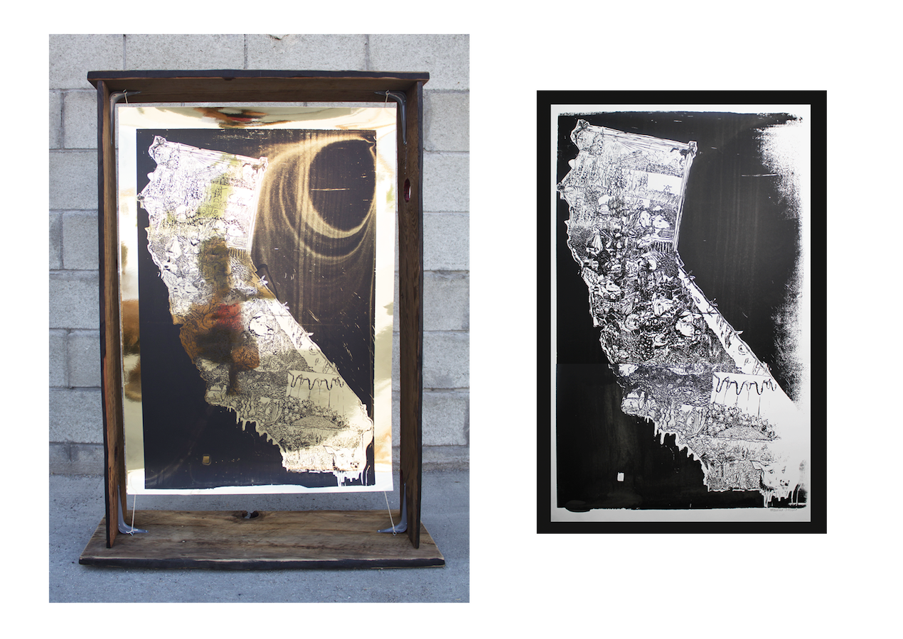
Yield 01premiered at the Santa Paula Art Museum's 2019 Art About Agriculture Show.
It is a compilation documentary of each county's contribution to California's 50 billion dollar agriculture industry.